
IndustriesMining & tunnels
Know where every crew member is, miles underground.
Heavy machines, narrow drifts, poor visibility and no GPS. Redpoint keeps a live, accurate picture of your people and equipment below ground — and can slow or stop a vehicle before anyone gets hurt.
The moment
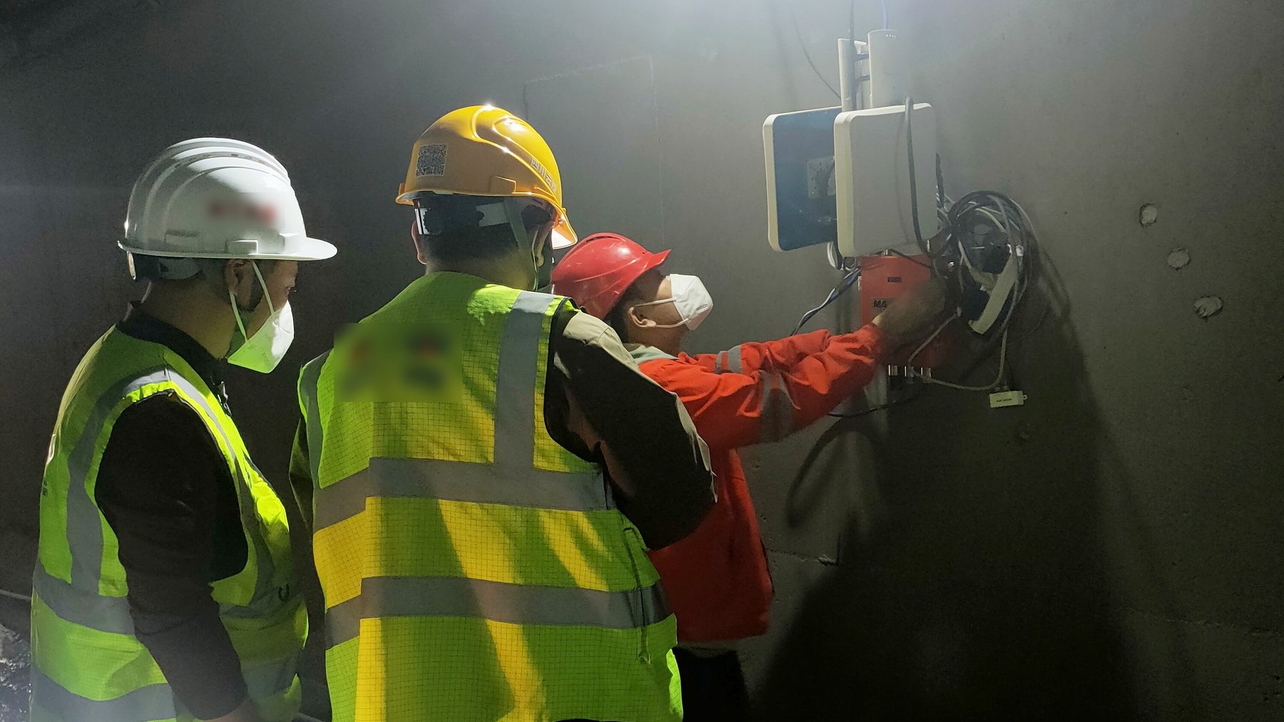
Milliseconds matter when you’re avoiding an accident.
When a person is close to a vehicle or motorized equipment underground, their safety — even their life — can be at risk. Collisions involving heavy vehicles are one of the major causes of injuries below ground.
And the usual tools don’t reach. GPS doesn’t work underground. Wi-Fi and Bluetooth lack the range and the accuracy. Blasting, seismic events, radio interference and harsh conditions all work against a system that has to be right 100% of the time — even if some nodes are damaged, and during the power outages that are common underground.
Our patented technology is the only available real-time location system that does not lose accuracy or latency in complex mining environments.
Redpoint Mining brochure
Keeping your people healthy and productive is the top priority. To reduce risk and improve productivity, you need full visibility and control — and it has to work miles underground.
What changes with Redpoint
Pedestrians, equipment and operators, connected.
Redpoint links everyone and everything on the level so real-time situational awareness is always available — to the operator in the cab, the worker on foot and the supervisor on the surface.
-
Vehicles slow or stop in time
Dangerous situations are detected in real time. Vehicle movement can be automatically slowed or halted when the proximity sensors detect a hazard.
-
Buffer zones around people and machines
When equipment or workers enter a geo-fenced zone, the system can trigger lights and alarms. Tags can measure the distance between themselves and raise an alarm even with no anchor nearby.
-
Two-way communication
Personnel badges send live location and movement to the dashboard, and messages can reach a supervisor’s mobile device or laptop.
-
Everyone accounted for
A live headcount of who is underground, and where — so emergency mustering is instant.
-
Better shift changes
Incident and location data is captured in real time and kept as history. Replay past activity to optimize shift changes and cut inefficiencies.
-
Fewer wasted trips
Track equipment, tools and vehicles to find optimal routes, identify idle time and minimize wasted journeys.
Proof · Tunnel construction
Anchors 400 meters apart, not 40.
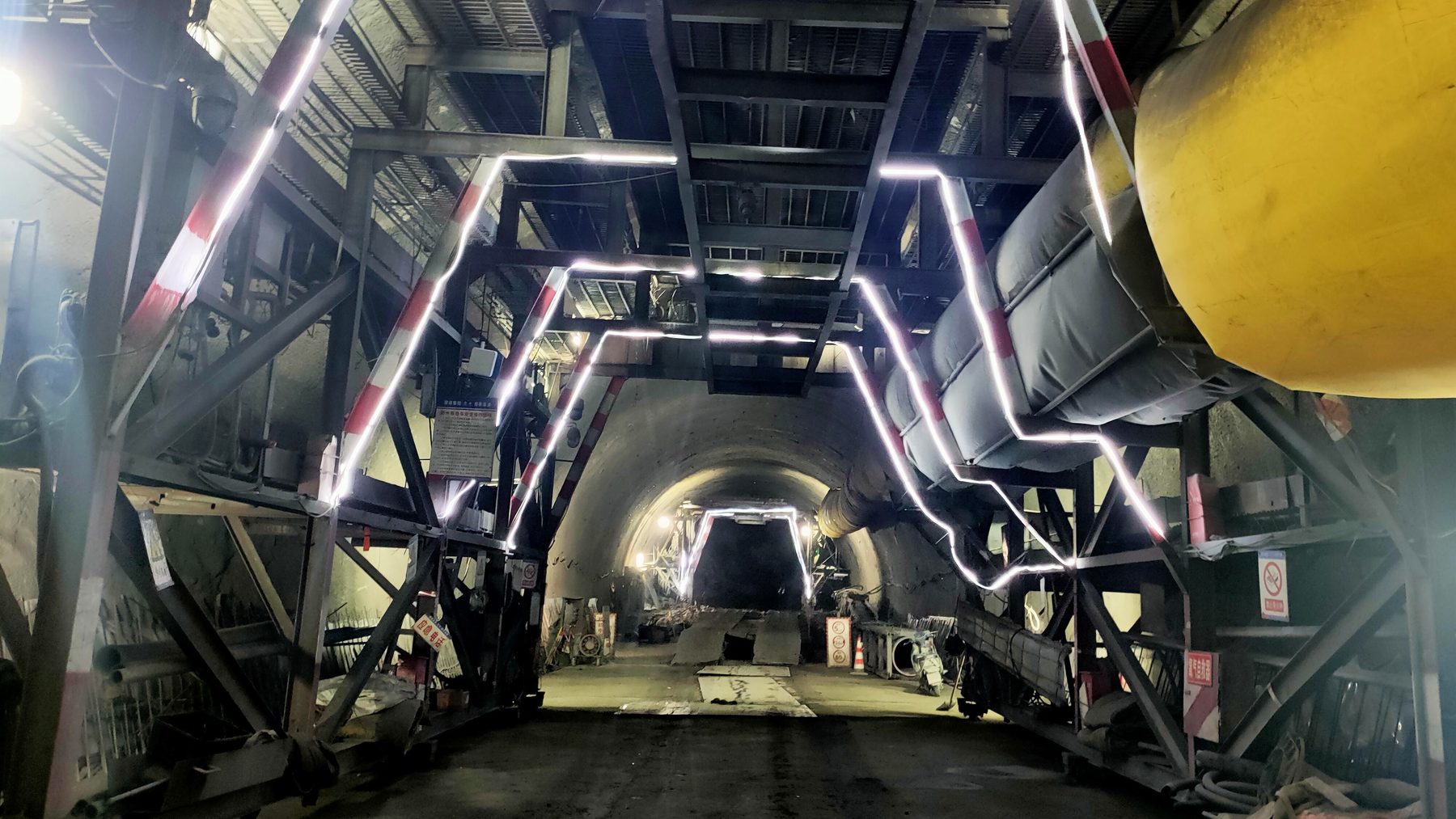
Most UWB systems need anchors every 20 to 50 meters, which makes kilometers of tunnel expensive to cover. Redpoint deployed along the entire length of an active highway tunnel, with every worker wearing a compact helmet-mounted tag.
The same 800 m of tunnel. Three anchors cover it, and every crew member’s helmet tag stays located all the way along — no gaps between anchors.
- 400+ m
- anchor spacing, at a 98% ranging success rate
- Zero
- safety incidents for the duration of the pilot
- <1 m
- personnel tracking accuracy, verified along the tunnel
- No gaps
- in coverage across the full tunnel length
The pilot exceeded expectations, and full-scale deployment is now underway on the strength of it.
Success story · Tunnel construction
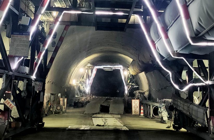
Tracking every worker across kilometers of live tunnel
- 400m+between anchors
- Zerosafety incidents
Case study · PDF
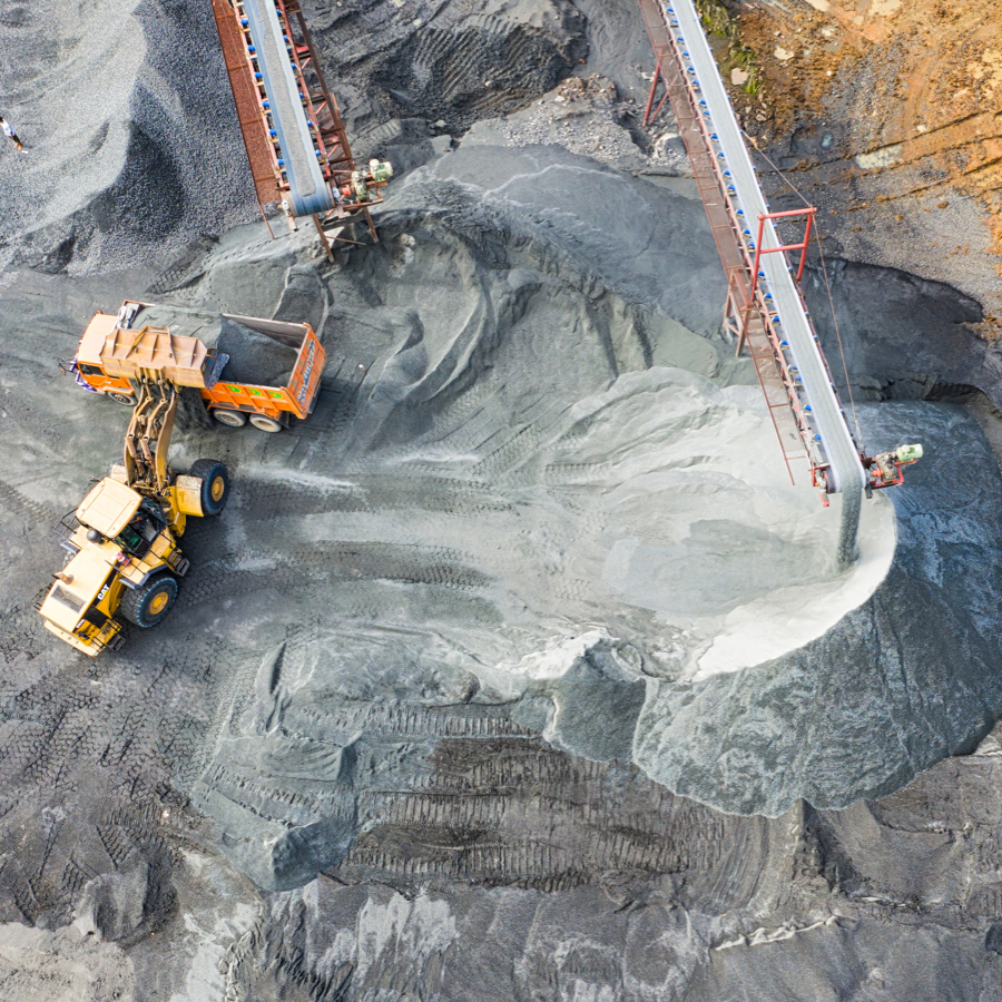
How one of the world’s largest mines is improving safety and productivity
The largest global mining company fitted an active production level with a full Redpoint network. Zone data revealed double entries and idle loaders — productivity hidden in plain sight.
Read the case study →How it works underground
Built for the harshest place you work.
Workers and vehicles carry ultra-wideband tags; anchors along the drifts and tunnels form a mesh network. UWB isn’t easily blocked by walls and equipment the way other signals are, so it keeps its accuracy in the mine.
- Accuracy
- Up to 10 cm; sub-meter personnel tracking verified in a live tunnel
- Latency
- Lowest latency, even in dense, complex areas — position data on the tag in <50 ms
- Range
- 400+ m anchor spacing at a 98% ranging success rate in an underground tunnel
- Tag-to-tag
- Tags calculate the distance between each other and set off an alarm, even with no anchor nearby
- Capacity
- Virtually unlimited capacity for millions of square feet
- Integration
- Easy integration into existing systems, equipment and vehicles
Other industries